![]()
| HOME • ABOUT THE TEAM • DIARY • PHOTOS • ROUTE • BIKES • SPONSORS & LINKS • CONTACT US |
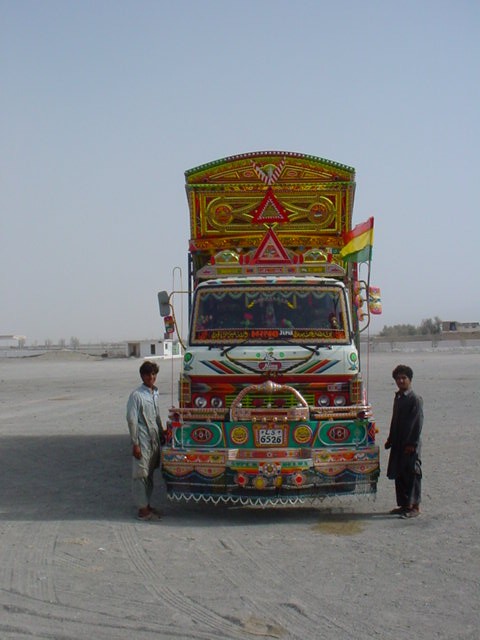
Pakistan
|
Southern Pakistan
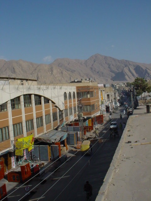
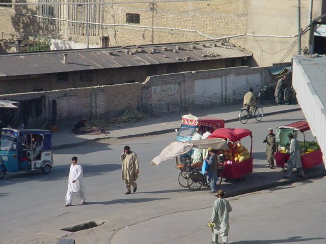
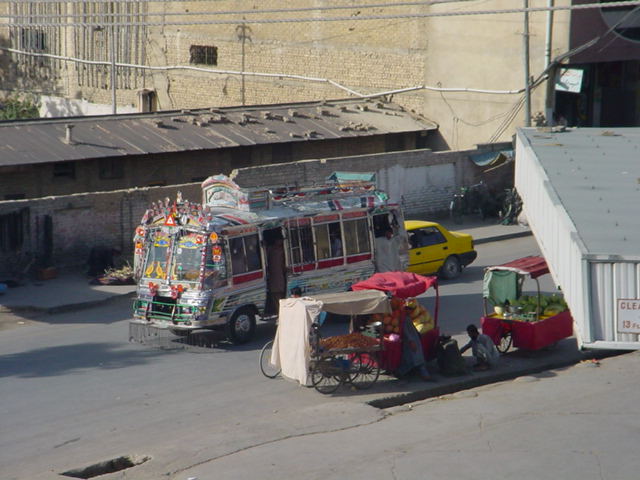
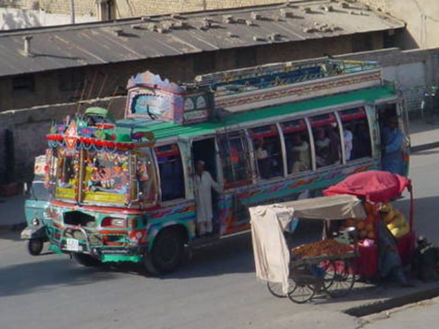
Quetta
Downtown Quetta from our hotel roof. Although this town is a dirty, smelly place, it has the feel of life to it. There are many locals bustling about their daily activities at most times of the day or night. Whether they are rickshaw/taxi drivers or selling fruit, everyone seems to be busy as a bee.
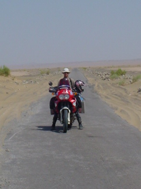
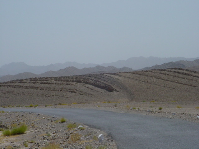
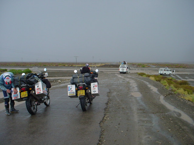
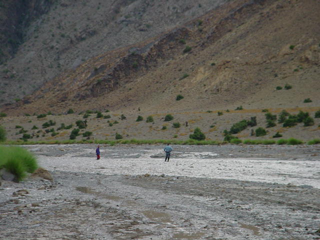
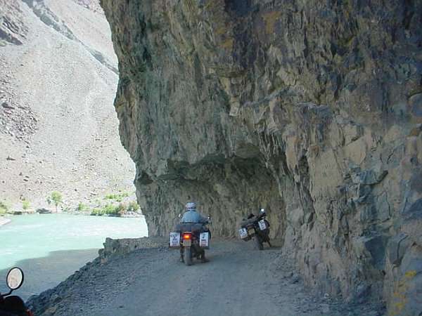
The nightmare "road" from Quetta (along Afghanistan border) to D I Khan Crossing the rivers was no easy task.
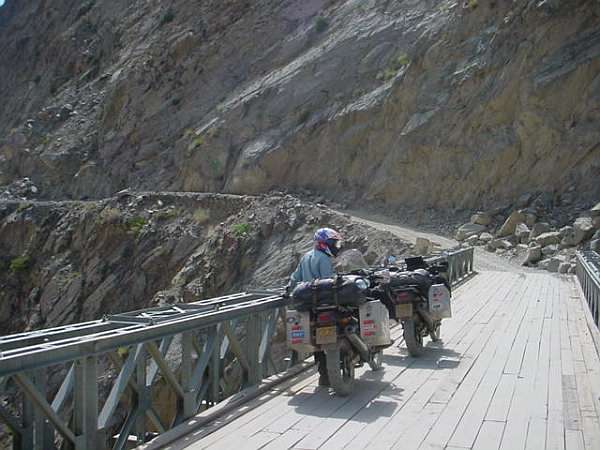
It's a waiting game for the rivers to subside so that we can cross them. These are flash floods and don't last that long. A 30 minute wait and the river is half the depth it was. Some of the cars take the plunge but the choice is where to cross...? Gary, patiently makes his way across making sure to keep his feet wide in case of unseen rocks which could throw the bike to one side.
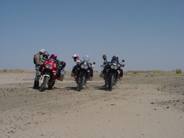
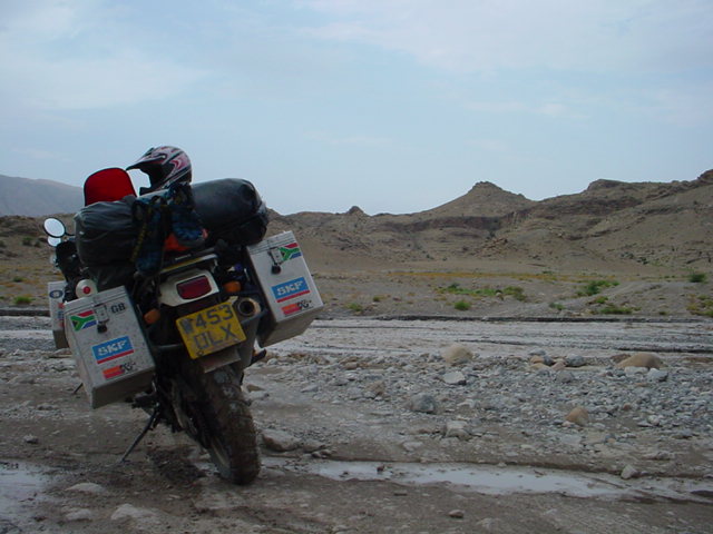
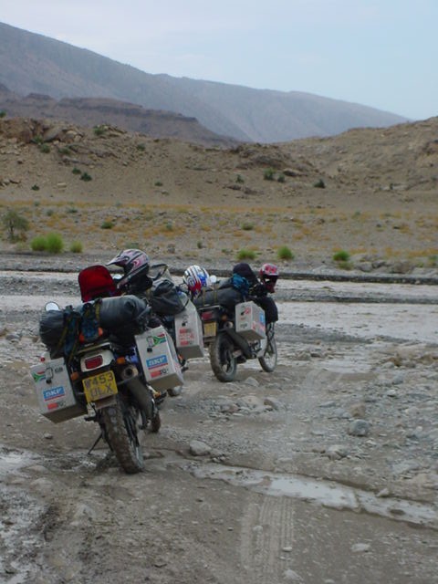
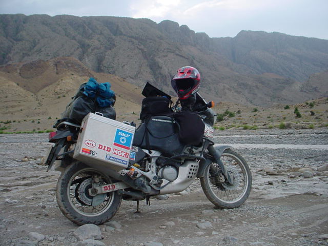
The bikes, all kitted out and nowhere for them to go! This was the last crossing, or not, before making camp. We decided against crossing as it was quite deep and we would only have to cross it again as the river wound its way down the valley.
As we had been stopping constantly all day for the rivers, we ran out of light and so had to make camp close to one of the rivers. This is quite hostile country, not far from the Afghanistan border. We ducked in behind some grass patches and made camp. We keep a emergency supply of pasta and tuna for such occasions and they always seem to come in handy!
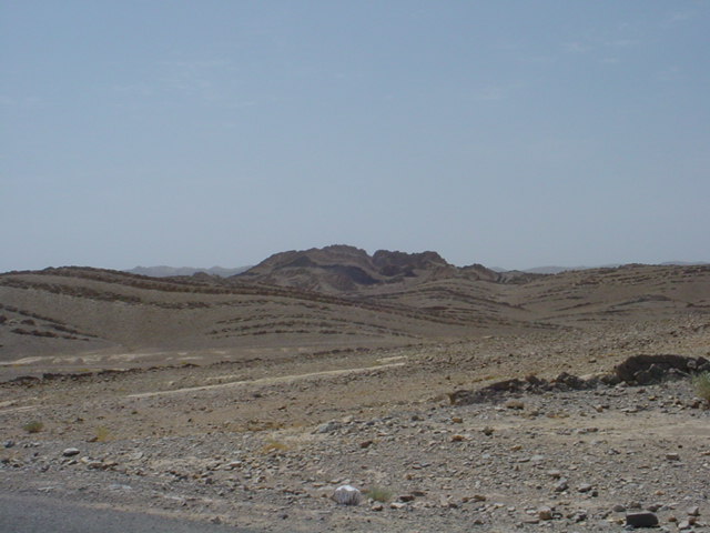
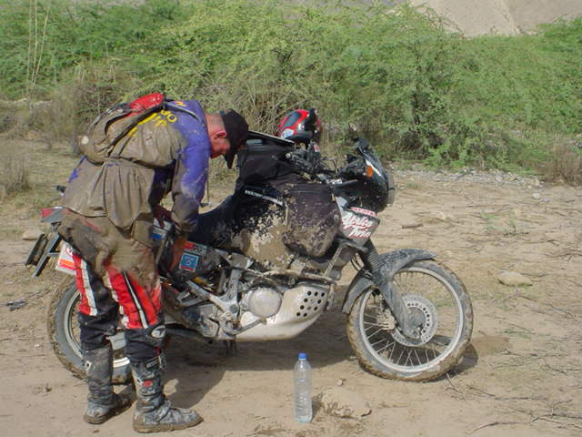
Dom, navigator and leader of the group, has to pick all the difficult routes though rocks, mud, etc. and it's easy for the others to follow. However, some places are not easy to pass. Although they appear to be ok at a glance, they'll either subside (rocks) or sink in (mud) when you put a 300kg bike on them! Dom crossed an average looking mud spot and, as the back wheel drifted across to the left, the right pannier, quite low to the ground, dug into the mud. He was going at about 20 kph so as the bike came to a sudden halt, he was thrown through the front screen and the pannier stayed in the mud, being cleanly removed from the bike!
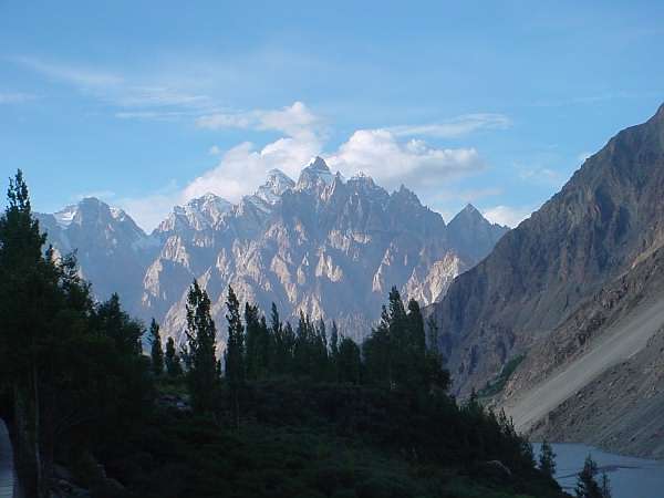
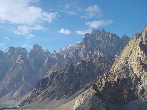
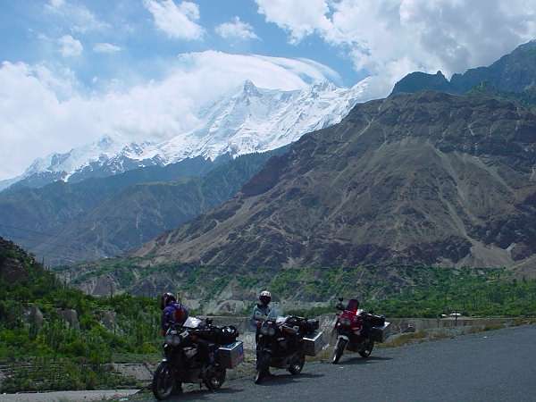
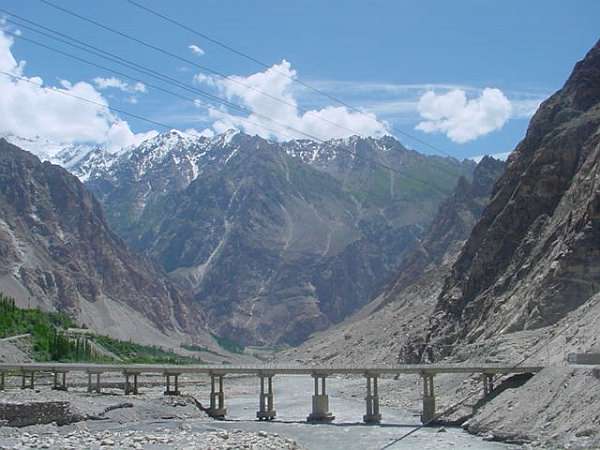
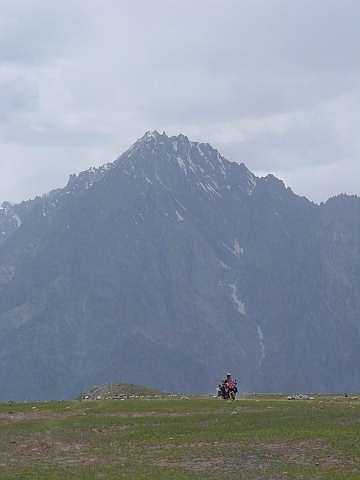
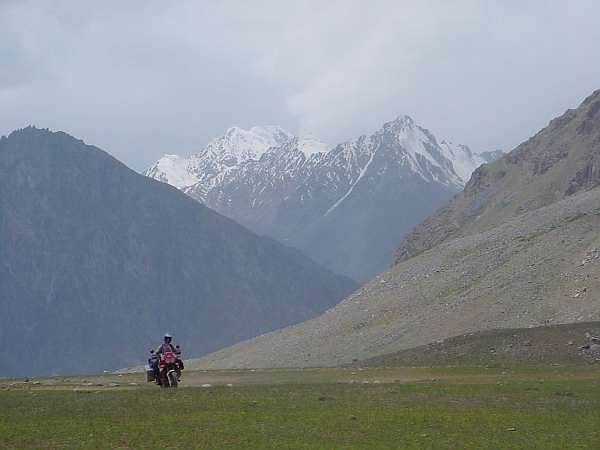
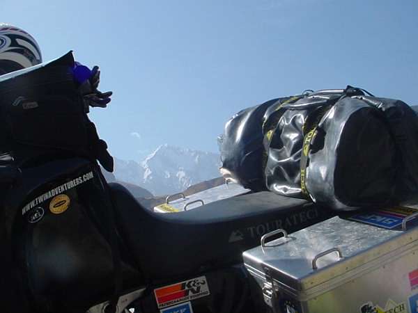
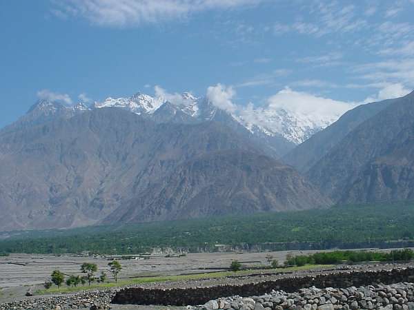
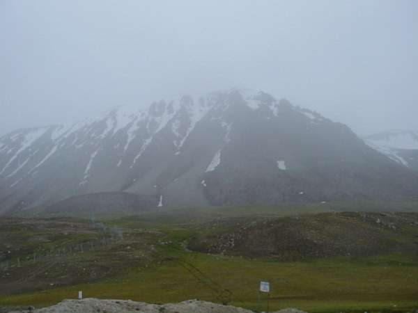
The Karakoram Highway - on the Karakoram range - 2nd largest mountain range only to the Himalayas.
Some beautiful scenes of the Karakoram Highway
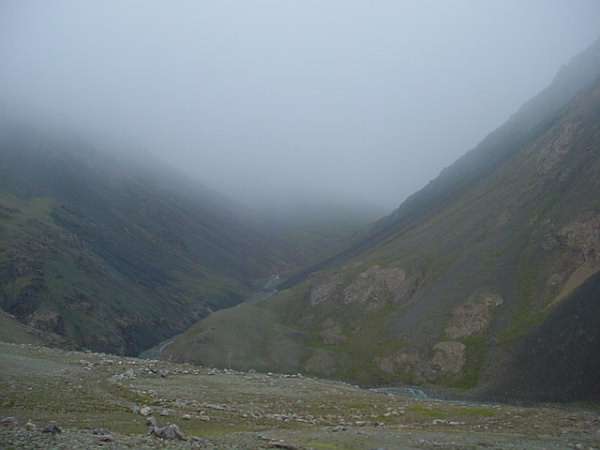
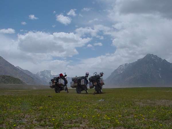
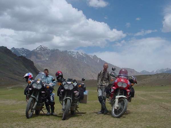
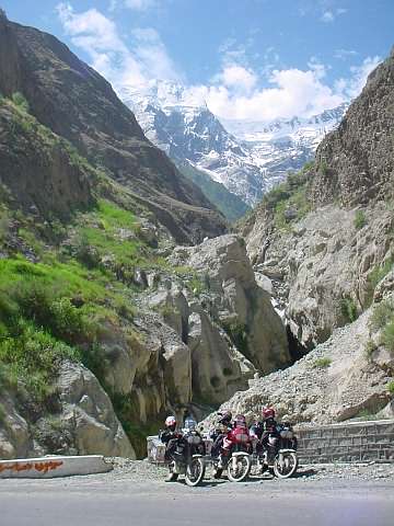
Shandur Pass
Sometimes we had to be patient for the roads to be repaired before we could continue.
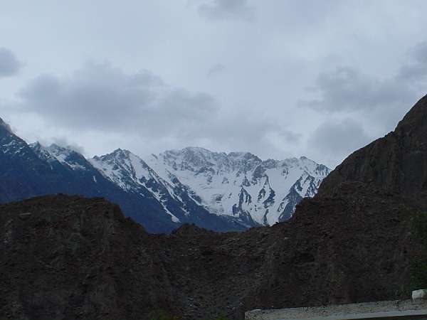
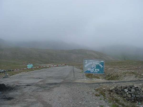
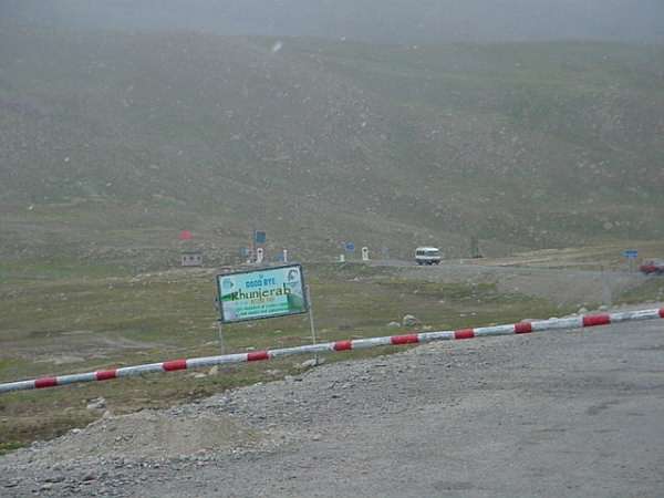
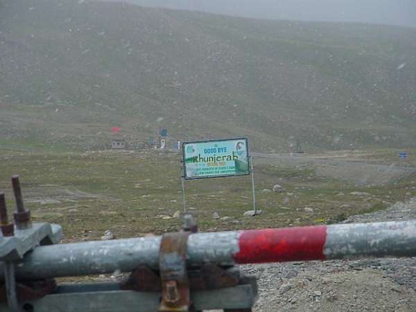
Pakistan - China border
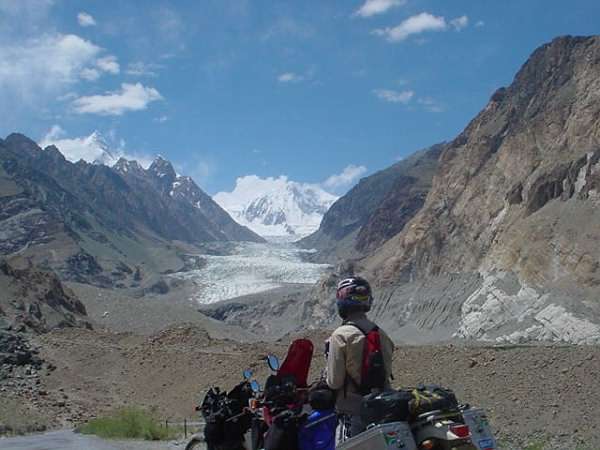
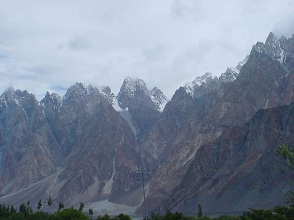
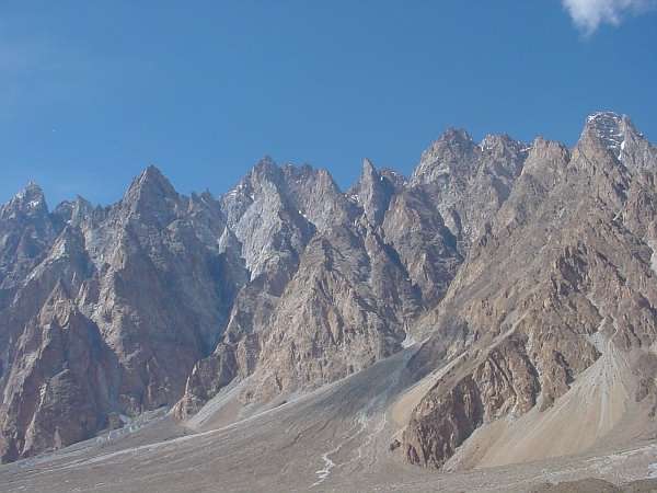
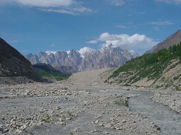
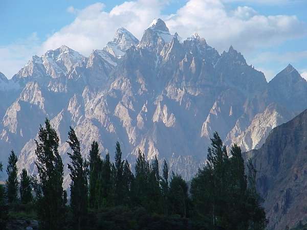
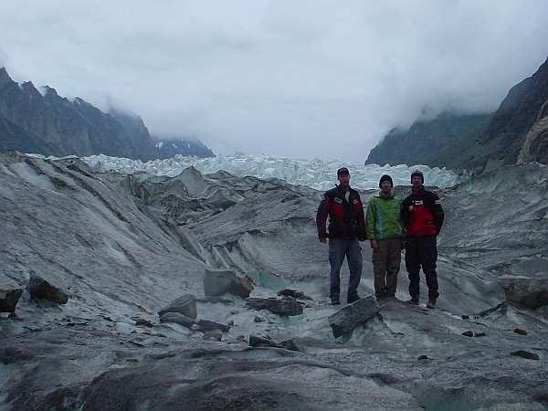
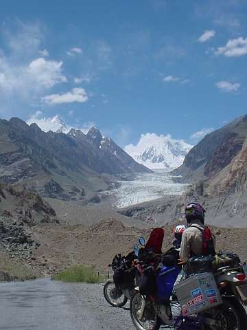
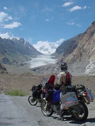
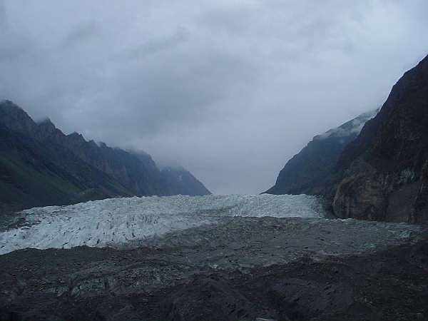
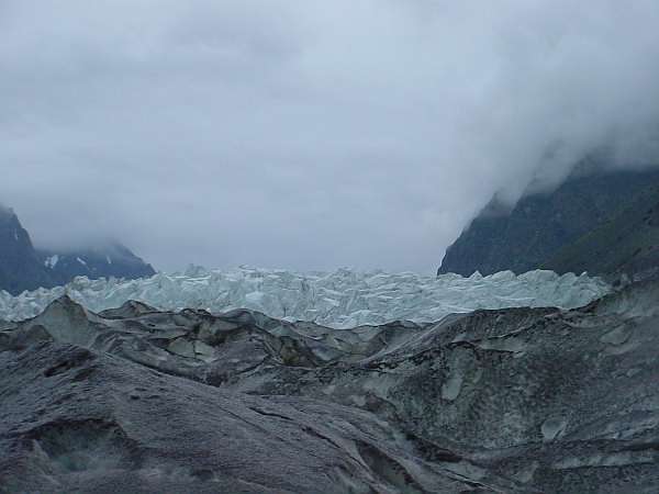
Passu Glacier Rakaposhi
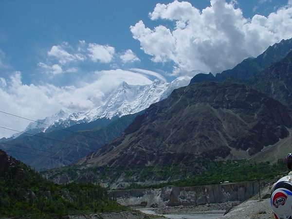
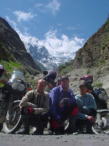
Dwarfed by this 7800 metre, snow-capped giant. Gilgit
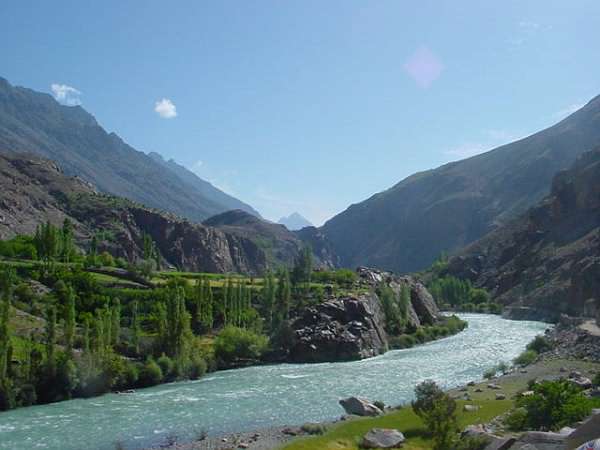
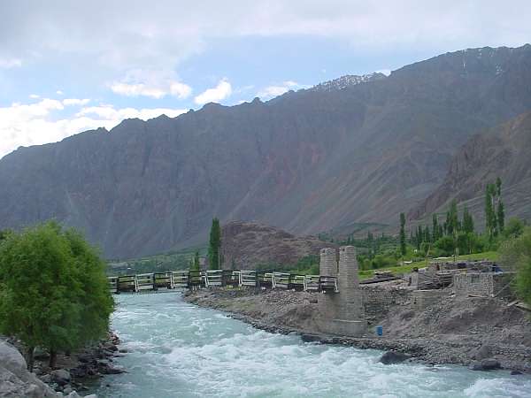
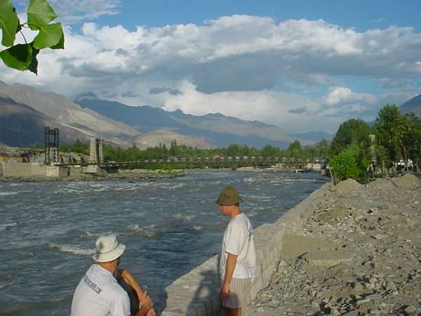
The Indus gains momentum and we hitch a ride on the local transport in Gilgit!
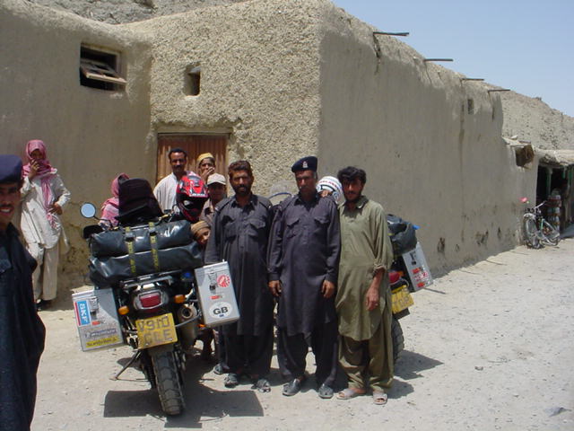
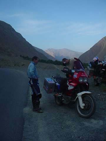
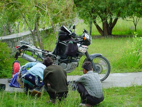
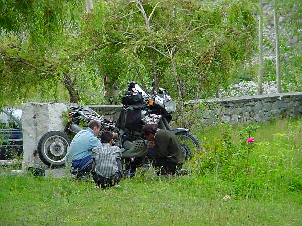
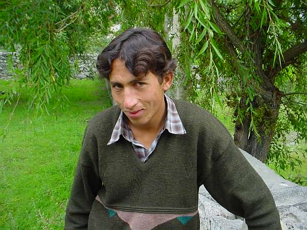
Dom found his Ohlins shock to be leaking so it had to be stripped out for inspection. Sultan, our friendly host for the past 2 nights, offers a helping hand.
|
|
Copyright 2001. Site best viewed at 800x600 in IE 5. |